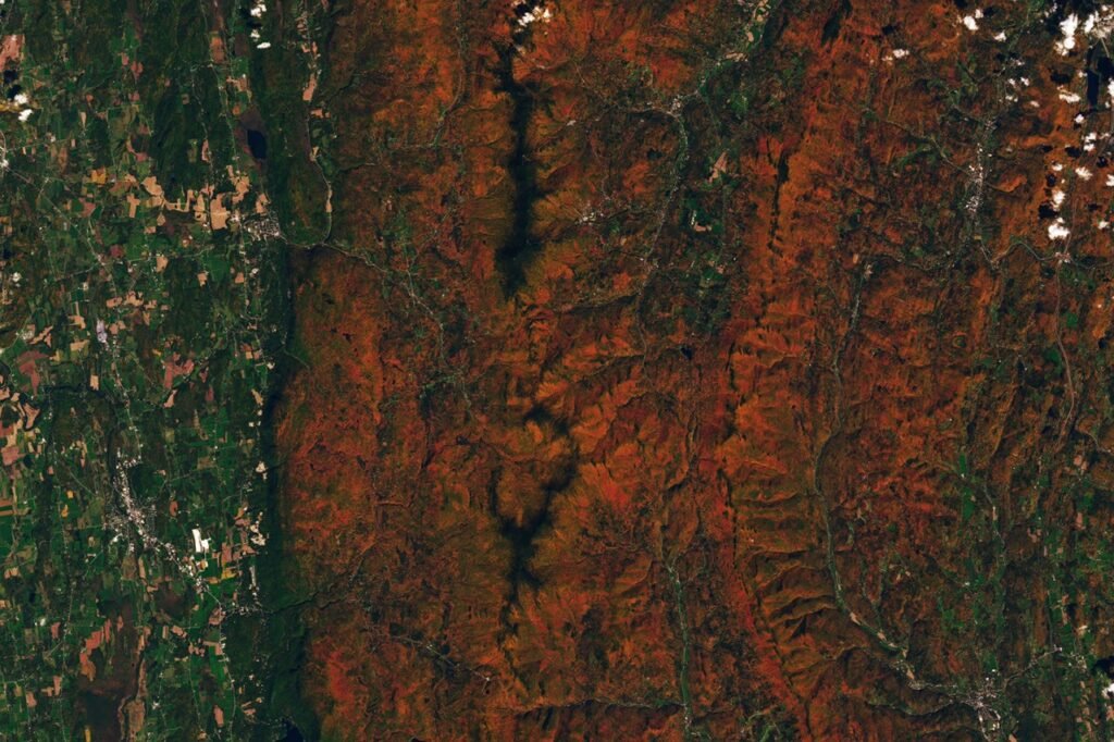
NASA is utilizing the Ocean Color Instrument (OCI) aboard the Plankton, Aerosol, Cloud, ocean Ecosystem (PACE) satellite to track the seasonal transformation of vegetation across the globe. By measuring 286 spectral bands, the satellite monitors subtle changes in leaf pigments, including chlorophylls, carotenoids, and anthocyanins, which are responsible for the shift from green to yellow, orange, and red hues during autumn.
Data collected between September 29 and October 4, 2026, showed peak redness in northern Canada, northern Russia, and Alaska. By the following week, from October 5 to 11, the areas of peak redness shifted equatorward, becoming more prominent in the U.S. Southeast, the Mid-Atlantic, Mongolia, and China. While these maps highlight seasonal foliage, scientists note that high levels of red pigment can also appear in agricultural regions due to crop aging or harvesting, and that cloud cover may create gaps in the data.
Advancements in satellite observation
Unlike previous hyperspectral sensors that were limited to localized areas and less frequent revisits, PACE is the first satellite capable of measuring all three key leaf pigments across the entire planet every day or two. Karl Huemmrich, a vegetation scientist with the Goddard Earth Sciences Technology and Research II center at the University of Maryland, Baltimore County, and a member of the PACE science team, noted the significance of this capability. “It’s the ability to collect time-series data of anthocyanins and carotenoids everywhere on Earth repeatedly that is game-changing,” Huemmrich said. “The time-series data allow us to determine peak redness and yellowness anywhere on Earth.”
Ground-level collaboration
NASA is currently seeking public participation through the North American Phenology Campaign, run by the Global Learning and Observations to Benefit the Environment (GLOBE) program. The initiative asks the public to submit photographs of fall foliage to help researchers “ground truth” satellite observations. NASA data scientist Skye Caplan emphasized that these ground-level contributions help scientists understand how various factors, such as drought or insect damage, influence vegetation color.
“The more photos we can get from the ground, the better,” Caplan said. The team hopes these combined observations will eventually support research into the global carbon cycle, wildfire risks, and the timing of seasonal changes. Scientists are also investigating whether the satellite can detect early warning signs of plant disease or environmental stress. For those interested in documenting these changes, Caplan noted the rapid nature of the season: “Color changes happen kind of slowly, then all at once, and then they’re gone.”